Evolution of York Road, Tunbridge Wells - maps from 1867 to 1965
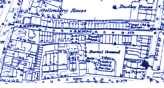
York Road, Tunbridge Wells, and Surroundings 1867
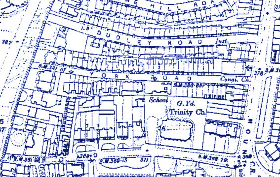
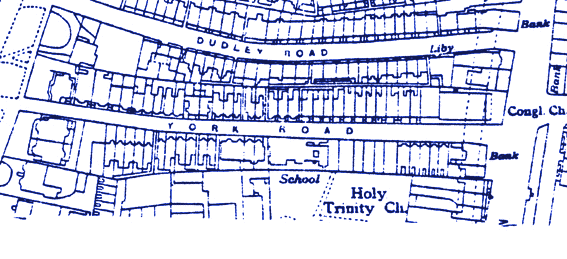
Through careful studying of these maps, you can see the gradual evolution of York Road and its surrounding area to its current state today. Over time, villa style housing filled the road. Many of these beautiful houses are listed buildings.

|
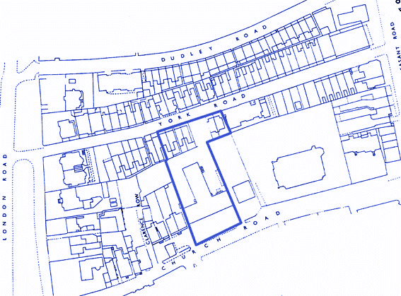
Grade I and Grade II listed buildings in this part of the Conservation Area of Tunbridge Wells
|
|
|